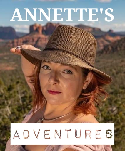
 Hello Adventurers, Welcome back to another edition of Annette's Adventures! I am back working in the Cerrillos Hills, one of my favorite locations to work. This time, I am three gates deep into private property and loving every minute of my workday. Getting access to the area that I am working in requires coordinated access permission from multiple people. Once permission was granted and the keys were picked up, I drove out to scout the roads and plan my workdays. I know the road as far as the gates and a little ways past the last gate, but I have never been all the way out the road. My first mission was to see how far out the road I could drive. I drove out farther than I expected, but not as far as I had hoped. Once turned around and parked, I started traversing the hills, but I had forgotten to update the data on my GPS unit, so it was indeed just a scouting day. 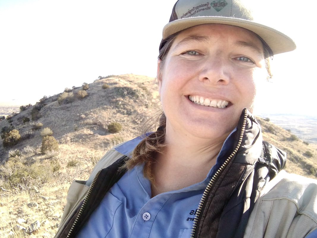 I returned to Cerrillos Monday morning, ready and excited for a full day of work. My goal was to reach the top of the central mountain and record monitoring data on my way up. I started in the hills, moving up the mountain's eastern flank with each feature that I monitored. The day was still and peaceful. There was a slight breeze and a little nip in the air, but the sun was warm, and I quickly traded my thermal for my go-to field shirt. I carefully picked my way through the cactus as I climbed the hillside. Each feature I came across was slightly higher than the last, and each time the slope flattened out, I would take a break from walking to enjoy the view. The higher I climbed, the steeper the terrain got and the closer the cactus grew together. At one point, I had to stop and ask myself if the risk was worth the reward. The slope was steep, the rocks were loose, and cactus carpeted my path. I continued to the top, knowing that there must be features at the top. There are always features at the top. My responsibility is to make sure that I check them for safety, regardless of how difficult they are to access. I eventually reached the top of the mountain. The slight breeze that gently kept me cool in the lower elevations had turned into a full-blown wind. The temperature had dropped, and the sun was lower on the horizon than I had hoped it would be. But that was all ok because I made it to the top, and there really were mine features up there. I proceeded to the features, recorded their current state, took the required pictures, and then crept to the edge of the north slope to plan my route down. I knew there were features below me, but I didn't know where. I knew that I didn't want to leave them for a future day, but I didn't know if I could safely reach them. I took a few minutes to prepare for my descent: I pulled my thermal on over my field shirt, studied the GPS unit, and tucked it into the back pocket of my vest. I pulled my gloves on and slowly started to make my way down the north flank of the mountain. Thankfully my trajectory was spot on. I quickly saw the first of the 3 intended features; it was directly below me. Knowing that it is not safe to walk straight downhill to a feature, I changed my path and moved to the west before proceeding downhill. As with the climb up, I was making my way across loose rock through fields of cactus. I picked my way carefully and grabbed onto juniper branches when available to help ease my mind. Once at the mine feature, I recorded my observations in the GPS unit and started to plan my route to the next and final feature of the day. The last and final feature of the day was a bit higher on the slope and somewhere east of my current position. I planned it that way to get that feature on my way back to the truck, but I was unaware of the slope conditions when I made my plan. No turning back now, and there is no way I wanted to climb back up at a later date, so I very carefully picked my way to the last mine feature of my day. With the last feature completed, I had to make a decision. Do I make my way downhill and then cross the many hills to get back to the truck? Or, do I cross the slope and make my way down the eastern flank as previously planned? I decided to stay high on the hill, but I knew it would take decisive foot placement. I made my way to the east and then carefully downhill. Every step was a careful judgment call. Are there any loose rocks? Are there and cactus? Is the slope stable? Is it safe to stop there? All the while keeping an eye on my trajectory, I was aiming for a specific spot on the hill that would give me a more clear view of my route out. Once there, I again started down that slope, very carefully picking my way through the carpet of cactus. I was walking in the shadow of the mountain and would remain in the shadow for the rest of my hike out. I knew I wanted to get back to the truck with as much daylight left as possible. As the slope graduated from too steep to climb to a pleasant hill, I quickened my pace. I made it back to the truck at 4:54, three minutes before the official sunset, and quickly sent a text to HQ confirming my safe return. What started as a blissful morning traversing the hills turned into a great accomplishment. Not only did I climb the mountain, but I did it safely and without injury. I started my day thinking thoughts of gratitude, specifically for such a peaceful day and for having a career that allows me moments of happiness in beautiful locations. I finished my day thankful for my skills and abilities and the gear and equipment that kept me safe. Every year on Thanksgiving, I ask everyone at the table to say what they are most thankful for. This year I am grateful for so much, I won't begin to list everything, but most of all, I am thankful for the support of the great folks at GEM Environmental. This has been a fantastic year, and I am looking forward to many more adventures and many more safe returns....
|
Categories
All
Archives
June 2024
|
 RSS Feed
G.E.M. Environmental NFP
Geology - Engineering - Minerals - Environmental - Not for Profit
Geology - Engineering - Minerals - Environmental - Not for Profit

|
Community Partners
|
Programs
|
Get Involved
|
About
|
Follow Us
|
Sponsors & Donors
|
© COPYRIGHT 2017 - 2023. ALL RIGHTS RESERVED. G.E.M. Environmental NFP
GEM Environmental, GEM4STEM, GEM Corps, and Charity Rocks are all Registered Trademarks of G.E.M. Environmental NFP.
Any and all use of Trademarks or Copyrights must be authorized.
GEM Environmental, GEM4STEM, GEM Corps, and Charity Rocks are all Registered Trademarks of G.E.M. Environmental NFP.
Any and all use of Trademarks or Copyrights must be authorized.
|

|