|
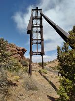
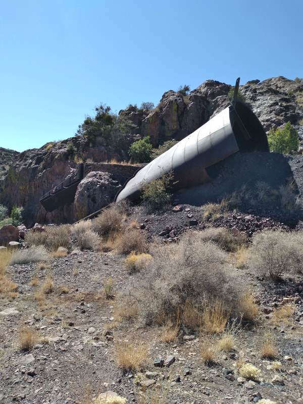
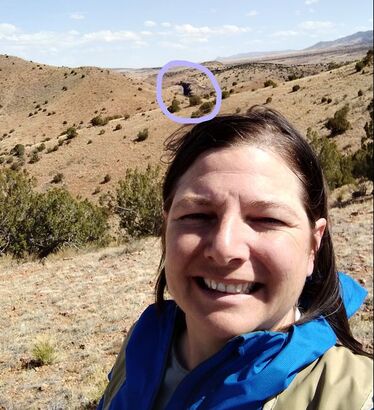
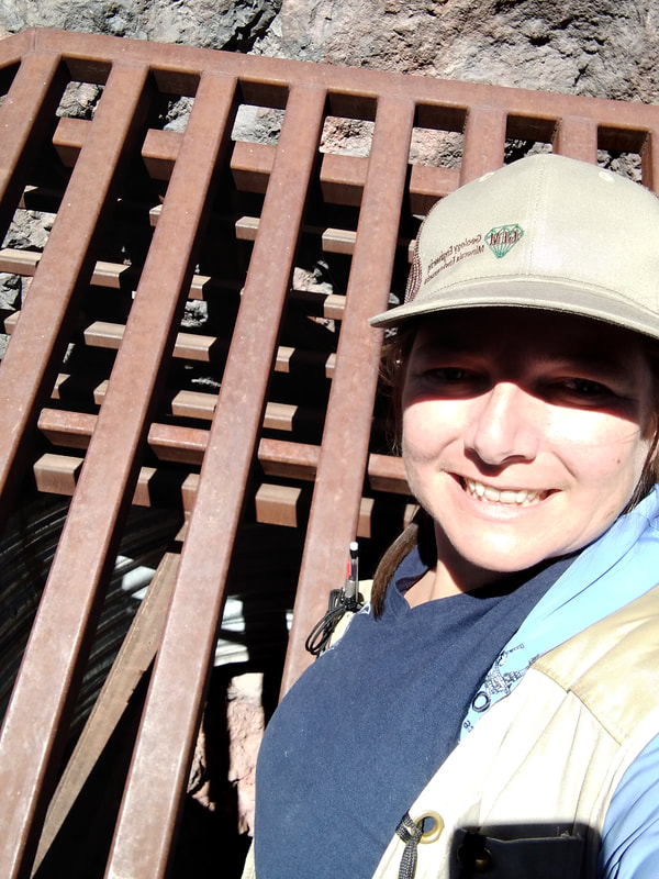
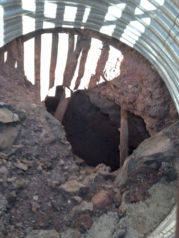
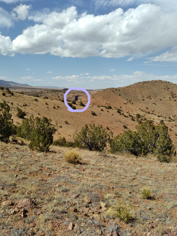
Hello friends, and welcome back to another installment of Annette’s Adventures! This month we will be visiting the Luis Lopez Mining District, just south of Socorro, New Mexico. The primary commodity mined in the Luis Lopez District is Manganese, and according to Alfred T Miesch (1956), it was, at one time, one of the most productive districts in the United States. Today, I will tell you about my adventures in and around the pit at Nancy Mine. We typically spend the first day of any field campaign familiarizing ourselves with the area. Our first task in any mining district is driving the dirt roads to verify what we mapped in Google Earth. We must have tried a dozen or so old mining roads to cross the hills from our camp on the east side to Nancy Mine on the west side. None of the routes were passable! Our fate accepted, we headed out for Nancy Mine with the intention of recording monitoring data on all the mine features in that area. The headframe and pit at Nancy Mine are the largest I have seen in my short career as an AML Monitoring technician. Everything at Nancy Mine feels large. Even the water storage tank on the hillside folded and falling looked humongous! I try my best to arrange my monitoring days into efficient loop hikes and, if possible, I like to park at the bottom of the hill and work my way to the top so that I can have a nice downhill hike at the end of the day when I am tired. Nancy Mine day was no different. Eric and I parked at the bottom of the hill and worked our way up the hillside. We traversed north across the top to the far entrance of the pit and hiked down into what looked like a large trench. It was almost otherworldly with boulders covering the bottom. Some boulders were loose so that when you stepped on them, they would roll underfoot. Tumbleweeds gathered in low spots and piled up along the walls, and most closed features were under piles of tumbleweed. A few of the closures had bat gates, but most were concrete plugs that you would miss if you were not looking for them. Climbing out of the Nancy pit was no easy task. It was nearing the end of our day, and as mentioned before, the rocks were loose! While we were crossing the hilltop on our way to the pit, we discussed two random-looking features marked on the map to the north. We agreed to save them for another day because they fit well with a different task in that same area. It took a few days to get back to those two lone features in the north. A winter snowstorm had passed through the region the day before our planned trip to get those features. Our camp was dry in the morning, and I thought nothing of the passing storm. This trip was Rob, Dan, and I all piled into the truck. Rob and Dan were inventorying a few features off the beaten path, and I was going to monitor the two points that looked like they would not be much. ABOVE IS THE PROGRESSION OF THE STORM. We noticed that the snow increased the closer we got to our designated work area for the day. The snow was a solid six to eight inches deep where we parked the truck. Off we hiked in the snow up the hill. At the top, we split, the guys went west, and I went north. I believed I was going out to verify a “remediated road” or something like that. I followed an old road downhill, then around a corner. As I came around the corner, I yelled: “That’s not a remediated road” (by now, you know I talk to myself in the field). I recorded my notes and took my field photos for the log. I also took some pictures with my cell phone because I could not believe what I was seeing. I promptly headed out to meet back up with the guys and head back to our camp HQ. Of course, no field day in the snow is complete without a little extra excitement, but I will save that tale for another time… Make sure to check back monthly for more of Annette's Adventures! And be sure to follow us on Facebook!
|
Categories
All
Archives
June 2024
|
G.E.M. Environmental NFP
Geology - Engineering - Minerals - Environmental - Not for Profit
Geology - Engineering - Minerals - Environmental - Not for Profit
Community Partners
|
Programs
|
Get Involved
|
About
|
Follow Us
|
Sponsors & Donors
|
© COPYRIGHT 2017 - 2023. ALL RIGHTS RESERVED. G.E.M. Environmental NFP
GEM Environmental, GEM4STEM, GEM Corps, and Charity Rocks are all Registered Trademarks of G.E.M. Environmental NFP.
Any and all use of Trademarks or Copyrights must be authorized.
GEM Environmental, GEM4STEM, GEM Corps, and Charity Rocks are all Registered Trademarks of G.E.M. Environmental NFP.
Any and all use of Trademarks or Copyrights must be authorized.

 RSS Feed


