|
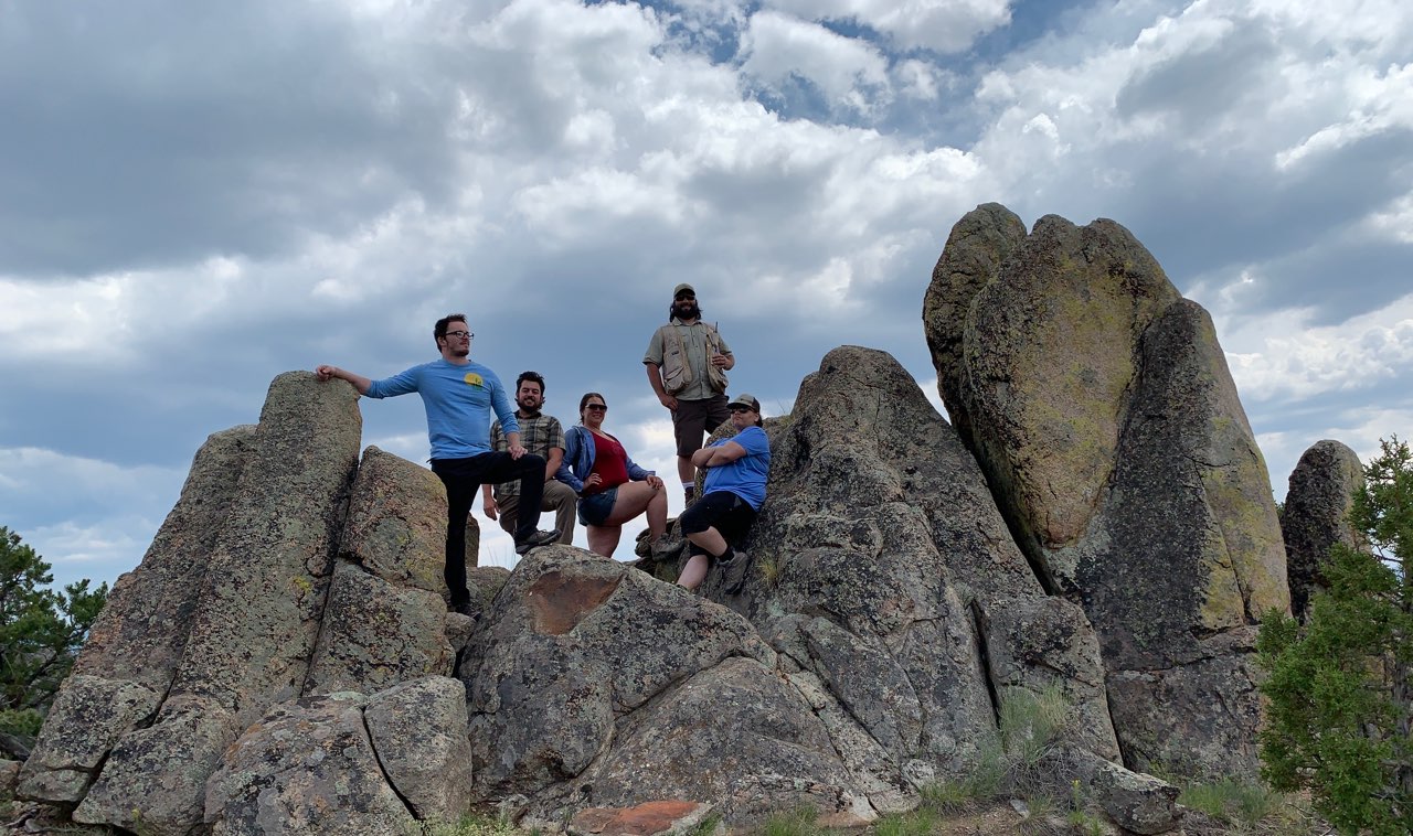
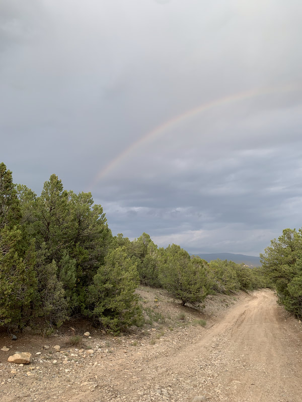
Hello Friends! Welcome to another story from Annette’s Adventures. Today we are going back to northern New Mexico and the Picuris Mining District... We arrived just before sunset and searched for a place to set up camp. After some deliberation and muddy road driving, we settled on a campsite and made our temporary home. The next day, as is customary, we took the ranger out for some dirt road reconnaissance. We drove around the roads for most of the day, looking for connecting routes and mine features. With the dirt roads behind us and general knowledge of the terrain, we stopped for lunch. Our lunch location was, of course, set amongst mine features. After scampering around the hillside, we returned to camp and started planning the next few days of work. The goal for the following two days was to focus on monitoring the Harding Mine. You may remember from my last adventure that, try as I might, equipment failure was inevitable. I had to return home with only one piece of data. This trip, I was determined to rectify that. I also wanted to find the elusive “Iceberg”! Iceberg, what is Iceberg? Why is it marked on the map? Why does it say “Icelandic Spar”? Is there Icelandic Spar here in northern New Mexico? Why did they put it on the map but not talk about it? I had so many questions. The only way to answer my questions was to hike hills and see what I could find. We arrived at Harding and went straight to the top of North Knob. I like to start at North Knob because it gives you a sense of the whole operation. But it is not until you are down on the ground that you get a sense of the beauty. I quickly separated from the group and started making my way around the mine features. I hiked down North Knob towards the west and found a couple of trenches on the side of the hill, marked them, and moved on. I chased down a couple of prospect pits out in the flats and decided to turn my focus back to the mine complex. I circled my way back to the mine through the large “waste rock” piles and climbed up the hill to a shiny new-looking fence. A collapse, good thing the undercuttings below were closed. I made my way back around the face of the underground workings, where all the closures are, and slowly worked my way back to the group. When we went back to Harding the following day, I had an ominous feeling that I couldn’t shake. My job is to ensure the safety of mine closures. If there is one collapse, then there could be a second. How would I know? I had to walk to the hill. I had to put boots on the ground and hike every inch of that hill. I again left the group and started hiking. I traversed the hill multiple times, keeping my head moving. I looked for any sign that I could see that would suggest giant gaping holes. After a thorough inspection and no sign of impending collapse, I decided to move on. I found a well-worn trail on the southwestern slope of the hill. It was an odd trail that went around the backside and away from the mine workings. I followed the path to see where it would go. While rounding a corner, that’s when I saw it; little ice cubes all over the ground. It must have been close to 90 degrees that day, I knew it couldn’t be ice! I found Iceberg! My mind was so focused on the safety of the complex that Iceberg had slipped my mind. I kept walking, with my eyes on the ground, and the pieces grew in size. I eventually called it in on my radio, “I FOUND ICEBERG!” and then promptly sat down to play with the pebbles.
The pit was nothing special. It was a hole in the side of the hill, about the size of a minivan. I hung out at the pit for a few minutes and enjoyed the pretty pebbles while eating my sandwich. Eventually I pried myself from the rocks, but only so long as it took to find the rest of my group and bring them back. Finding Iceberg and solving my fun little mystery was the perfect way to end our day and make our way back to camp… |
Categories
All
Archives
June 2024
|
G.E.M. Environmental NFP
Geology - Engineering - Minerals - Environmental - Not for Profit
Geology - Engineering - Minerals - Environmental - Not for Profit
Community Partners
|
Programs
|
Get Involved
|
About
|
Follow Us
|
Sponsors & Donors
|
© COPYRIGHT 2017 - 2023. ALL RIGHTS RESERVED. G.E.M. Environmental NFP
GEM Environmental, GEM4STEM, GEM Corps, and Charity Rocks are all Registered Trademarks of G.E.M. Environmental NFP.
Any and all use of Trademarks or Copyrights must be authorized.
GEM Environmental, GEM4STEM, GEM Corps, and Charity Rocks are all Registered Trademarks of G.E.M. Environmental NFP.
Any and all use of Trademarks or Copyrights must be authorized.


 RSS Feed


