|
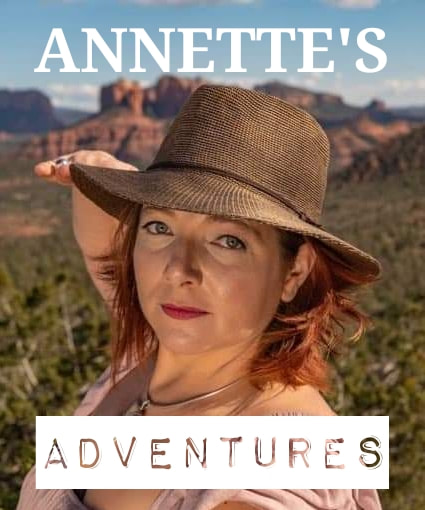
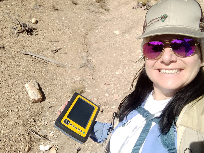
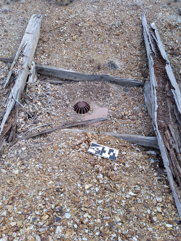
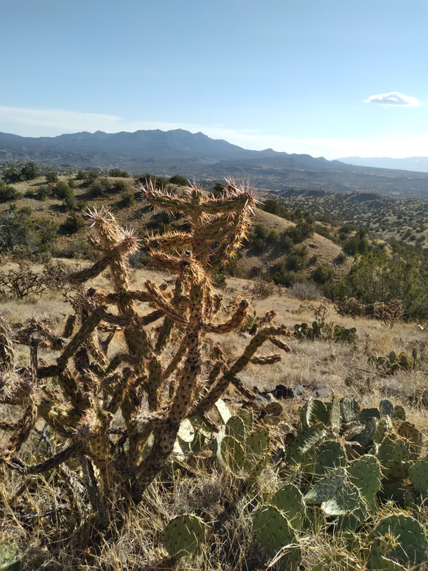
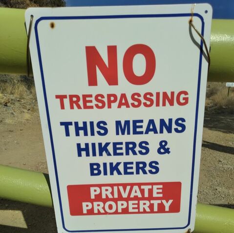
Welcome to our 1st edition of Annette's Adventures! This monthly blog follows our field scientist Annette Sunda as she explores the vast lands of New Mexico while working our AML monitoring program! Hope you enjoy! Hello, and welcome to my new blog and my new job! My name is Annette Sunda and I recently started working with GEM Environmental, monitoring closed mines on Abandoned Mine Land (AML) in the Land of Enchantment. As enchanting as New Mexico is, it should be called the Land of Adventure. The adventures have not stopped since I moved here, in fact, I think they have doubled since I started AML monitoring and I want to take you along for the adventure! My introduction to AML monitoring starts in the Cerrillos Hills Mining District, which is roughly 20 minutes south of Santa Fe, on Highway 14 aka “The Turquoise Trail”. Follow the signs to Los Cerrillos and take a pit stop in the village to enjoy the shops and mining museum. Once you are done checking out the town, head on over to the state park, this is where the adventure begins! My first day on the job was a bit of an unknown for me. I had my GPS device Trimble, called the “Yuma2” (it looks more like a tablet than a GPS device), I also had my trusty field shirt, a knit cap, and gloves to keep my fingers warm. I loaded my vest with lunch and snacks, put sunscreen on my face, grabbed my two-liter camelback, and off I went to see what I could find. The Yuma2 tells me the location of all closed (remediated) mines in the area, and it is my job to make sure that I can locate and verify that they are still in good, remediated condition. So I started up the trail and quickly decided that trail was too easy to walk so I jumped down and started hiking, down the slope and up the next hill to the first green dot on the screen. Then off again, up the hill to two more dots, back down, and again up and over the next hill to some more remediated mine features. My entire first day was a series of spirals, narrowing in on the mine features and climbing up and down the steep hillsides in the blowing wind and shining sun. It was a long day, but very glorious. I managed to reach nine mine features that day, all were far off the beaten path and in good condition. When I was finally too tired to think, I headed back to the car. Exhausted, tired, and looking for the quickest way back, I found what looked like a cow trail, and I thought to myself, “cows go home, and so do I”! So I followed the trail and quickly realized it was not a cow trail, “that’s a shod hoof, this is a horse trail” I probably yelled that out loud. Five minutes later I was back at the main trail and two minutes after that I was back at my car. Day two and day three were much more of the same, except I stuck to the trails and was able to get to more mine features. The cool thing about Cerrillos Hills State Park is that the main trails wander throughout the hills and take you to a lot of the mine features. Most of the mines on the state park trails have interpretive signs and I would encourage all of you to check out the trails and see how industrious the local miners were. During my third day at Cerrillos Hills I stuck to the west side of the main access road and saw some very cool mine closures, the coolest mines were right next to the trails and still had the original wooden headframes in the mine shafts. One remediated mine shaft has a bridge that crosses over the opening and has a great view of the very deep hole. By the end of this day, I had seen all the remediated shafts that I could reach from state park trails, so I reached out to the local property owners and received permission to access mine features on their land. The property owner told me that there were some really old mines on his property and that I would enjoy seeing all the closures. He was not wrong. As it turned out the very next day my meetings were canceled so I loaded my gear and headed back to Cerrillos Hills.... I went through the private property gate and on to my first stop. Mina Del Tiro, the oldest recorded mine in North America! A large shaft, roughly 20 feet square with a concrete “collar” around the top and “mesh” stretched across the opening. My fourth day was a cold, windy, rainy day; I compromised by monitoring mines that could be easily accessed with my car. I wandered around the roads on his property to see what points I could reach. In addition to Mina Del Tiro, I also found my first “Bat Coppola” a large metal structure on top of a closed mine shaft that is designed to allow bats to easily enter and exit the shaft. The last shaft of my day was possibly the coolest thing I have seen so far, a stub shaft with a vein of turquoise in the sidewall. With the weather turning to rain just after marking the turquoise shaft, I hopped back into my car and headed home. Seeing the oldest recorded metal mine is cool and not easy to do unless you have the right connections but seeing turquoise in bedrock staring me in the face was definitely a lifetime goal achieved. Thank you GEM for the great adventures! I look forward to sharing more adventures with you throughout the summer field season. Make sure to check back monthly for more of Annette's Adventures! And be sure to follow us on Facebook!
|
Categories
All
Archives
June 2024
|
G.E.M. Environmental NFP
Geology - Engineering - Minerals - Environmental - Not for Profit
Geology - Engineering - Minerals - Environmental - Not for Profit
Community Partners
|
Programs
|
Get Involved
|
About
|
Follow Us
|
Sponsors & Donors
|
© COPYRIGHT 2017 - 2023. ALL RIGHTS RESERVED. G.E.M. Environmental NFP
GEM Environmental, GEM4STEM, GEM Corps, and Charity Rocks are all Registered Trademarks of G.E.M. Environmental NFP.
Any and all use of Trademarks or Copyrights must be authorized.
GEM Environmental, GEM4STEM, GEM Corps, and Charity Rocks are all Registered Trademarks of G.E.M. Environmental NFP.
Any and all use of Trademarks or Copyrights must be authorized.
 RSS Feed


